Coordinates can be imported from a tabular file (.xls, .xlsx, .csv, .txt) and automatically assigned to existing forms, photos, or drawings within ArcheoBase. The correspondence between a tabular file containing coordinates and ArcheoBase can be carried out in two different ways, either by:
a) a match by type and identification number
b) a match by Topo Point number
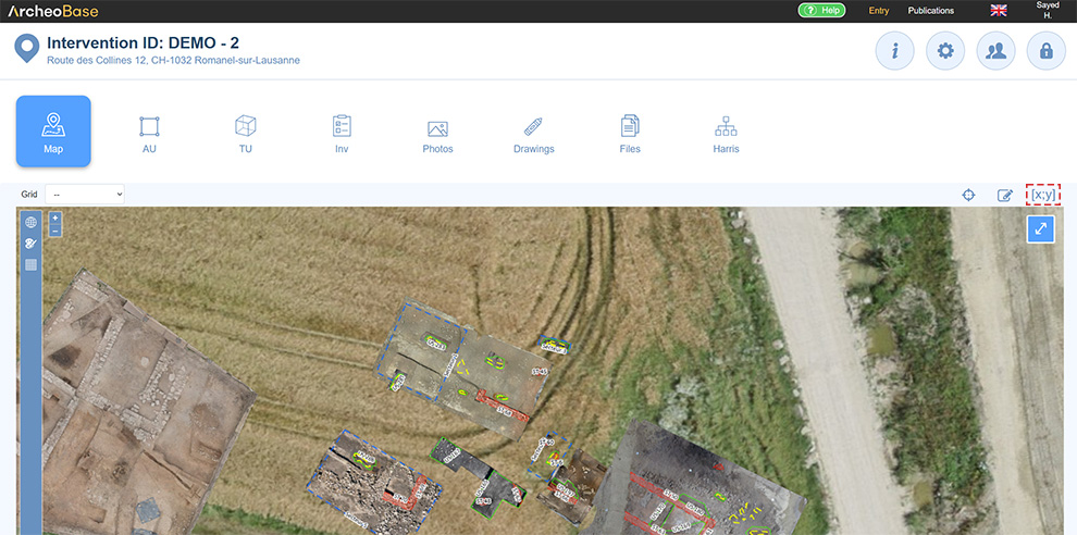
The import process can be launched by clicking the icon 
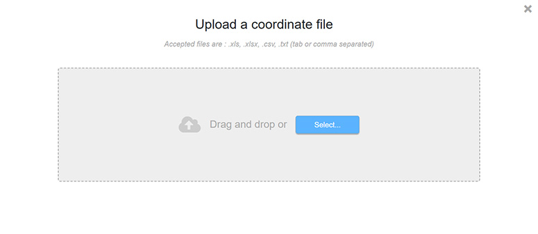
The button  then opens the upload window for dragging or selecting the file to be imported.

Option 1: Matching by Type and Identification Number
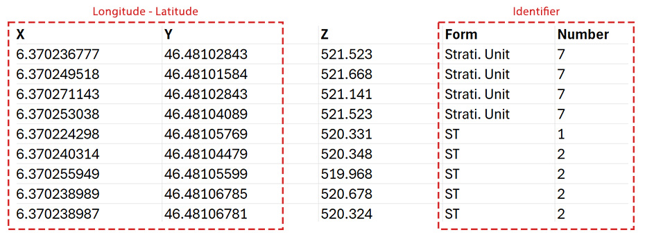
The file to import must contain an identifier composed of the form type followed by its identification number, for example US 7. It must also include the columns Longitude and Latitude.
It is important to ensure that the coordinate systems are identical. In this example, the coordinate system of the intervention is in WGS84, just like the coordinates of the file to be imported.
The matching tool allows selecting column headers from the file to be imported and linking them with their counterparts in ArcheoBase.
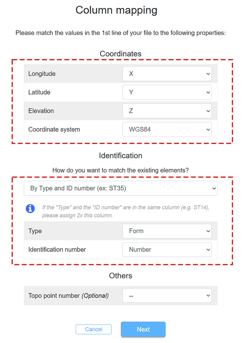
The columns Form and Number as indicated in the import file can also be combined into a single column that concatenates these two values. For example, a single column named Identifier containing values like US7.
- This feature is generally used if the theodolite limits entry to a single value for each coordinate.
- In the correspondence table, you should in this case assign the same Identifier value to the Type and ID number dropdowns.
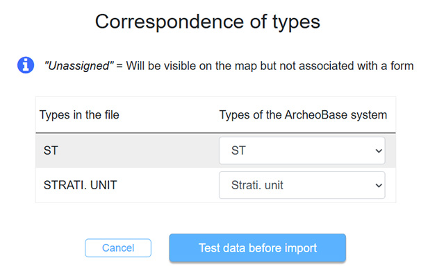
The next step defines the relations between the form types mentioned in the import file and their naming within ArcheoBase.
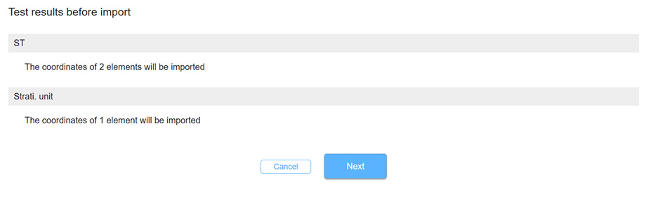
The import test displays the result of matches between the file and ArcheoBase. In this first case, the form numbers in the import file match those existing in ArcheoBase.
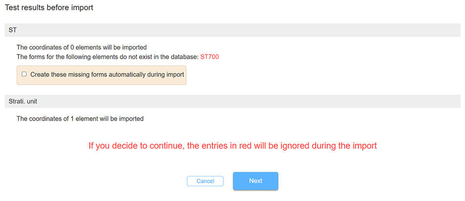
In this second case, the file contains a form number that does not exist in ArcheoBase. The matching tool detects this mismatch and proposes generating the missing form with its number, which means generating a form ST with number 1 in the following example. If the proposal to create the missing form is not validated, then the data related to form ST1 will not be imported.
Examples of accepted formats for identification:
ST35 => ST = Element type, 35 = Identification number
ST35.1 => ST = Element type, 35 = Identification number, 1 = Coordinate order
ST35.1C => ST = Element type, 35 = Identification number, 1 = Coordinate order, C = Coordinate type
ST35.1C-2 => ST = Element type, 35 = Identification number, 1 = Coordinate order, C = Coordinate type, 2 = Coordinate group
ST35.1-2 => ST = Element type, 35 = Identification number, 1 = Coordinate order, 2 = Coordinate group
ST35-2 => ST = Element type, 35 = Identification number, 2 = Coordinate group
Option 2: Matching by Topo Point Number
The file to import must contain a unique identifier matching Topo Point numbers already entered in ArcheoBase.
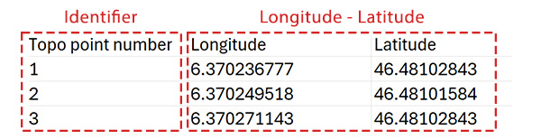
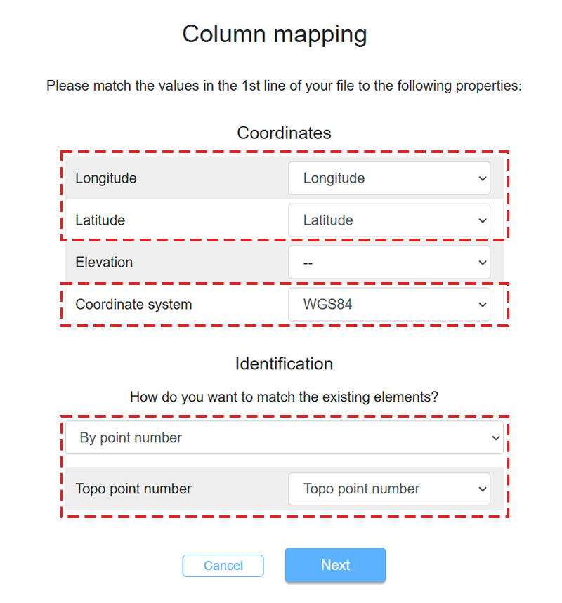
The matching tool allows selecting relevant columns during the import process. It is important to ensure that the coordinate system of the import file matches the coordinate system of the intervention. In this case, both systems are in WGS84.
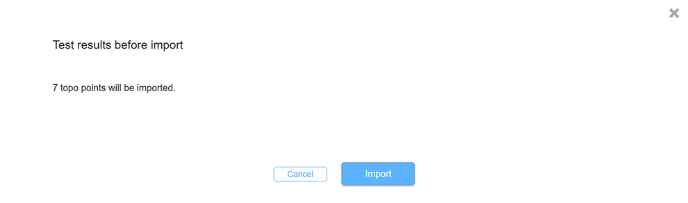
The import test displays the result of matches between the file and ArcheoBase. In this first case, the Topo Point numbers in the file match the Topo Point numbers already present in forms within ArcheoBase.
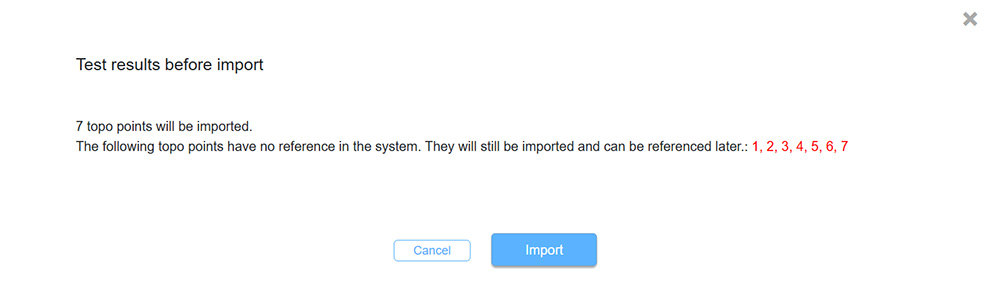
In this second case, the file contains a Topo Point number that does not yet exist in ArcheoBase. The matching tool detects this mismatch. This Topo Point will be added to the other Topo Points of the intervention. This Topo Point can later be linked to a form if needed.
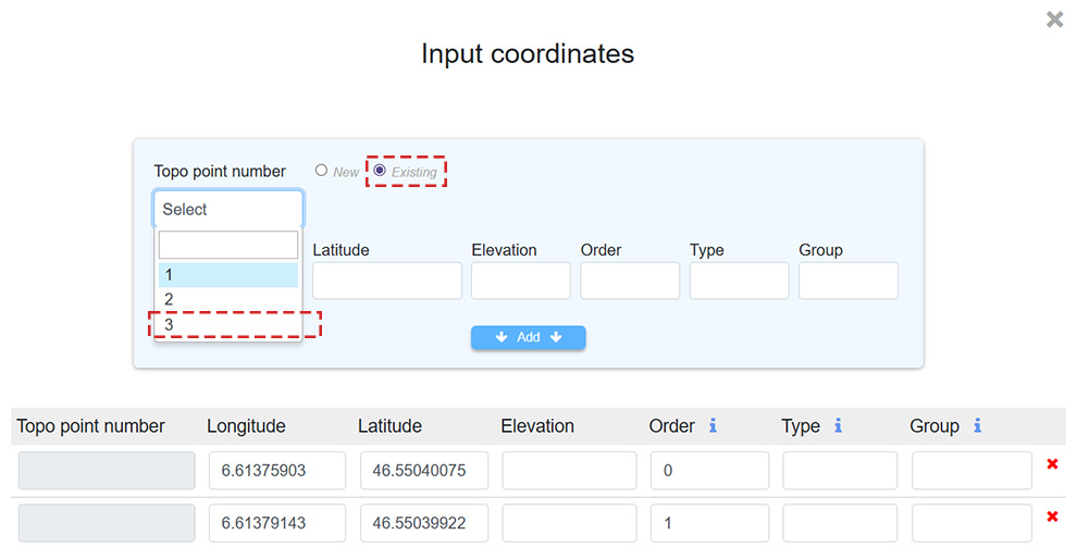
The later association of a Topo Point with a corresponding form can be done by opening a form and clicking on Coordinates:
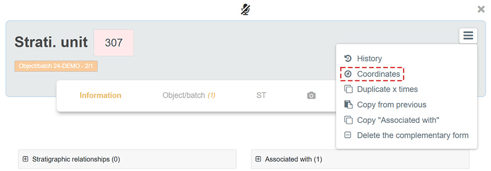
Then activate the Existing Topo Point number button and select its number in the dropdown menu.