GIS & Maps
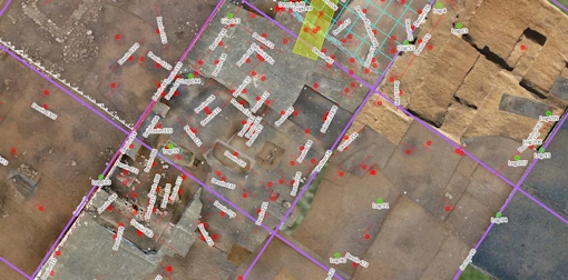
In ArcheoBase, the map is not a separate program. Coordinates, geometries, orthophotos, and background maps live with the records they describe: every point entered appears on the map, every geometry opens its form, and the whole team watches the site take shape in real time.
Book a DemoAn interactive map
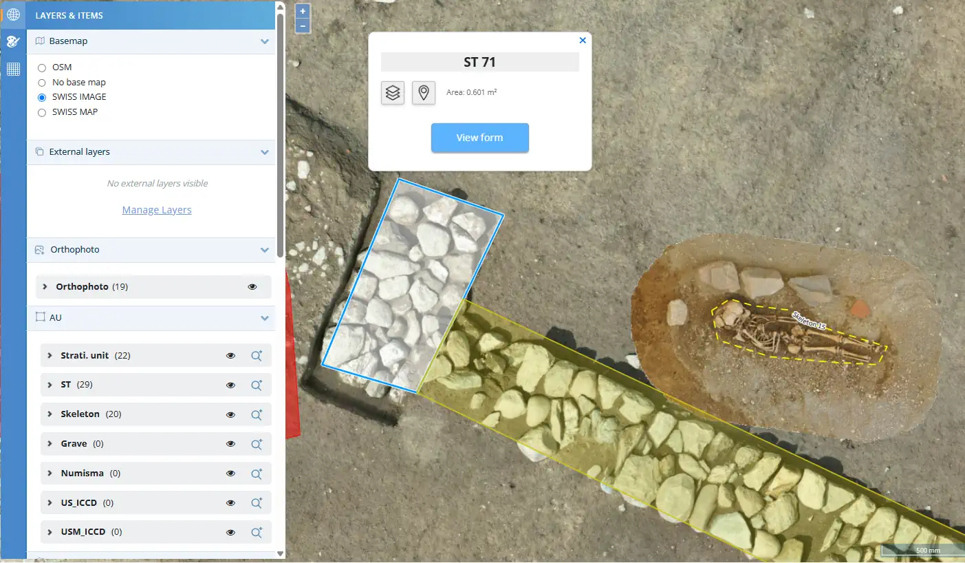
Points, lines, polygons, circles, section lines, grid squares: click any of them and the corresponding record opens instantly. Map and form, side by side.
Show only the postholes of one phase, or every unit linked to a given structure: any recorded property or relationship filters the map.
Distances, areas, and the exact coordinates of any point, read directly from the map.
Toggle visibility, reorder by drag-and-drop, and style each one: geometries, orthophotos, and background maps stack the way you expect.
Three ways in for your coordinates
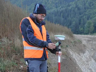
Total station & GNSS
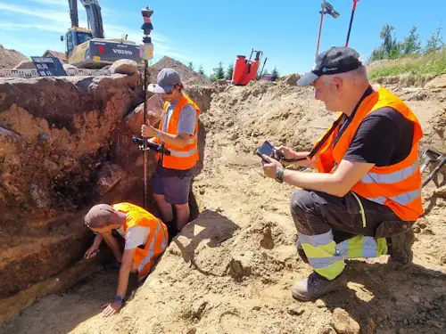
Survey points from your total station or GNSS receiver come in with full precision.
GIS & Spreadsheet Import
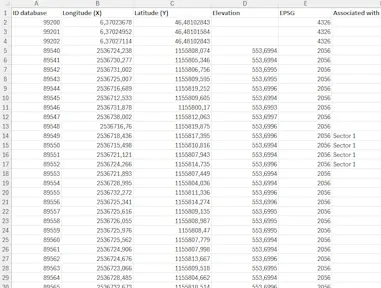
Import GIS files and spreadsheets, including legacy datasets.
(GeoJSON, Shapefiles, XLSX, TXT)
On-Map Drawing & Typing
Draw geometries directly on the map over orthophotos, or type coordinates into any form.
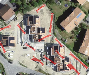

Coordinate System Support
Any coordinate reference system (CRS) is supported: national grids (LV95, Lambert 93, UTM…) and local systems defined by a Proj4 string.
Orthophotos and background maps, without limits
High definition,
automatically tiled.
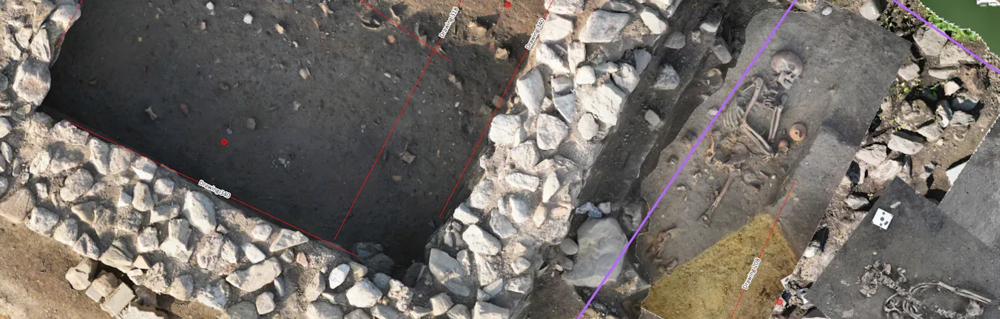
Import georeferenced orthophotos in unlimited number; our servers tile them automatically for smooth, high-definition display, even on tablets in the field.
Plan view and
section view.
Section lines are drawn on the map with their viewing direction, and section orthophotos attach to them, so vertical documentation stays anchored to its exact location on site.
Order your layers.
When several orthophotos cover the same area, drag-and-drop their order to compare acquisition dates, resolutions, or excavation phases.
National and custom base maps, and WMS/WFS services.
Default topographic and aerial base maps are included, adapted per country; custom backgrounds (historic maps, cadastral plans) can be added for your organization, and external layers from state services stream in live via WFS or WMS. And for clean site plans, the base map switches off entirely: geometries and orthophotos alone.
A grid that
documents
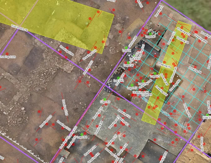
Define a grid from four corner coordinates, pick your square sizes (several at once if needed), and every square becomes a form, created automatically or linked to existing records such as test pits. From then on, each square is an entry point: one click shows every unit, find, and photo documented inside it. A spatial framework proven from open-area excavations to lacustrine and underwater sites.
A versioned map
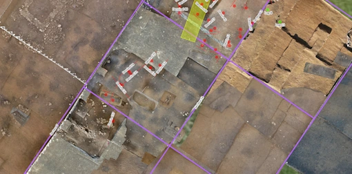
Every change to geometries and coordinates is versioned. Pick a date, and the map shows the excavation exactly as it stood that day: trenches, units, drawings, grids. Any earlier state can be restored. The excavation's spatial history becomes something you can scroll.
 2025-04-21

 2025-09-30
Interoperable with QGIS and ArcGIS

Your geometries, live in your GIS
Every form type has its own WFS URL through ArcheoBase's GeoServer: add it as a layer in QGIS or ArcGIS and the excavation's geometries stream in, in real time, always current, nothing to re-export.

Configurable transmitted attributes
A configuration panel selects exactly which form attributes the WFS service transmits; the chosen values appear directly in your GIS attribute table, spatial and descriptive data perfectly synchronized and under your control.

Excel, Shapefile and GeoJSON exports
Tabular exports to Excel and geometries to Shapefile, at any time, for reports, archives, and sharing with partners.

REST API
Go beyond exports and map services with ArcheoBase's REST API: direct, on-demand access to your data, geometries and their linked form records alike. Build custom integrations, automate synchronizations or power your own dashboards, all secured by personal access keys and delivered in your working coordinate system. Your data, ready for whatever you build next.

One environment
Cartography lives with the documentation. Third-party software becomes a choice, never a requirement.

The whole team sees the site
Every member views and enriches the map, on any device. Spatial data is no longer the preserve of a single specialist: it becomes a shared resource.

Interoperable, on your terms
Live WFS to professional GIS tools, standard file exports, and attribute control that keeps authority over the data where it belongs.
Whether we are conducting complex urban excavations or operating across vast open fields, ArcheoBase flawlessly integrates orthophotomaps, total station and GNSS measurements with stratigraphic unit forms and artifact inventories.
Ready to see your excavation on one map?
Free calibration to your methodology.
Free field test. No commitment.