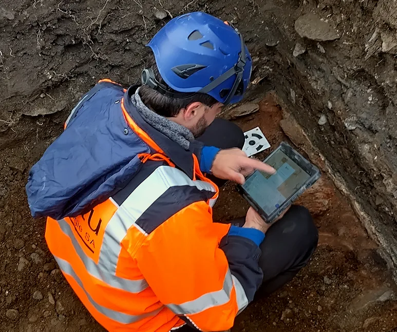
Save time
 Save resources
 Collaborate in real time
Small consultancies need to do more with less, handling everything from fieldwork to final reporting. Large contract firms face a different challenge: coordinating dozens of archaeologists across multiple sites while maintaining consistent documentation standards with seasonal workforces. Both must deliver compliance-ready data to heritage authorities, often burning time on manual reformatting.
ArcheoBase addresses these realities. Small teams benefit from streamlined workflows that eliminate administrative overhead, while large operations gain real-time coordination across 40+ simultaneous users, without added complexity. The same platform scales seamlessly to your needs while preserving a consistent, intuitive interface. And the time gained in post-excavation is real and measurable.
Structured
recording configured
to your methodology
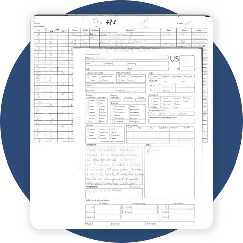
ArcheoBase allows archaeological teams to record field data using customizable digital forms that reflect their existing documentation standards. Paper forms can be converted into digital formats while preserving methodological choices, including:
- Customized fields and tab structures
- Controlled vocabularies and thesauri
- Explicit relationships between records
Digital forms can be reused across projects and shared within or between institutions, ensuring consistency without imposing uniformity.
From paper to digital
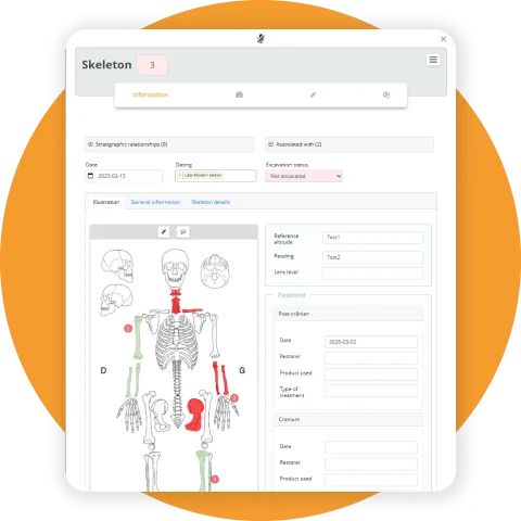
Time gained for what matters
Structured data from day one eliminates the post-excavation cleanup phase.
Teams can do the work they were trained for: delivering better margins, better
outputs, and better archaeology.
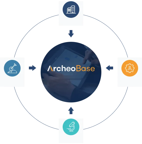 Office
Field Works
Specialists
Laboratory
GIS + CAD
One synchronized
platform replaces
fragmented workflows
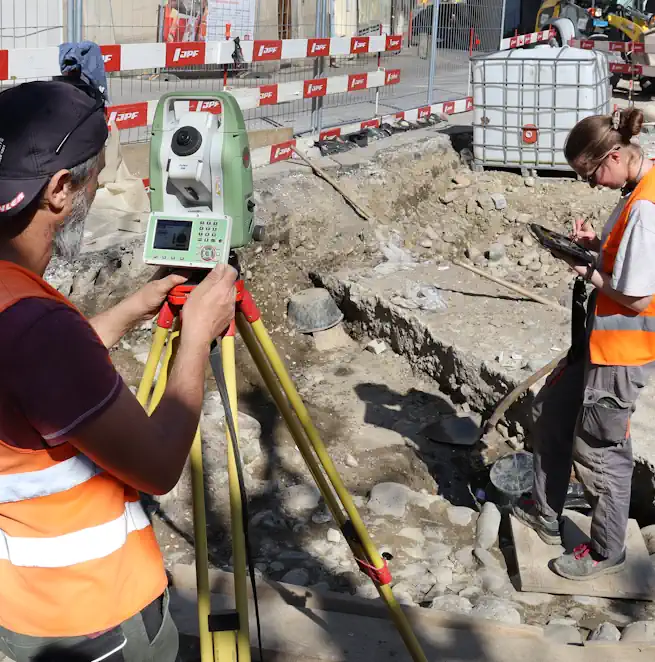
Field teams, office staff, and specialists work in parallel, with real-time synchronization. Paper forms, Excel files, GIS viewers, and CAD tools are replaced by one shared environment.
Your methodology
stays yours
Existing forms, vocabularies, and recording logic are fully preserved. Workflows convert directly to digital with no retraining burden, improving efficiency at every level.
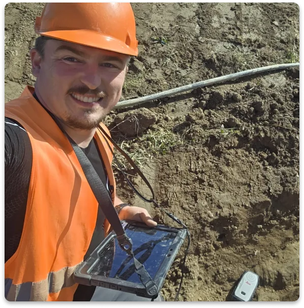
More Time for Archaeology.
Less Time Managing Data.
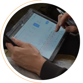
Access the same live data,
from anywhere, on any device
ArcheoBase is a web solution. Any device can access it: Windows, Mac, Android, iOS.
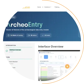
Fast onboarding
New team members become operational quickly through short tutorials and intuitive workflows, without monopolizing senior staff or billable time.
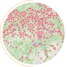
Simultaneous multi-site
operations with global visibility
Multiple excavations are managed in parallel within a single environment, giving managers real-time visibility across sites, sectors, and teams.
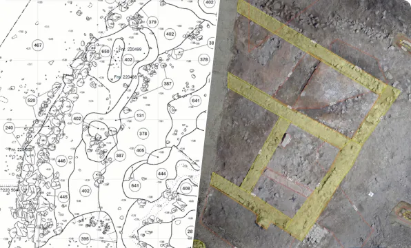
GIS and drawing tools accessible to every archaeologist
Integrated GIS and drawing tools allow field archaeologists to produce spatial data and plans directly, reducing dependence on dedicated specialists and external software.
Read more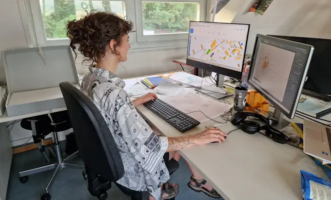
Less post-excavation processing
Data entered once in the field is immediately reusable, eliminating secondary data reconstruction and accelerating project closures.
 Export
Compliance-ready
exports for state
institutions
ArcheoBase provides structured exports in standard formats (Excel, GIS/WFS, vector drawings, media archives, PDF) aligned with documentation and handover requirements of state and national heritage authorities, eliminating the need for manual reformatting at project completion.
Full data
sovereignty,
zero IT burden
Institutions retain complete ownership and control of their data, while the web-based platform operates without local installation, maintenance, or dedicated infrastructure. Hosted on enterprise-grade AWS infrastructure certified to international security standards (ISO 27001, SOC 1/2/3), with encryption at rest and in transit and automated backups to your own servers, all under the Swiss data protection framework.
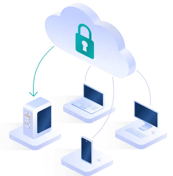 Backups
On large-scale excavations, we had the experience last year of using ArcheoBase on a site of over two hectares with different sectors, sometimes involving up to 30 people on-site.
Free calibration to your methodology. Free field test. No commitment.
Book a Demo