Prés-de-Vidy, Lausanne · Switzerland
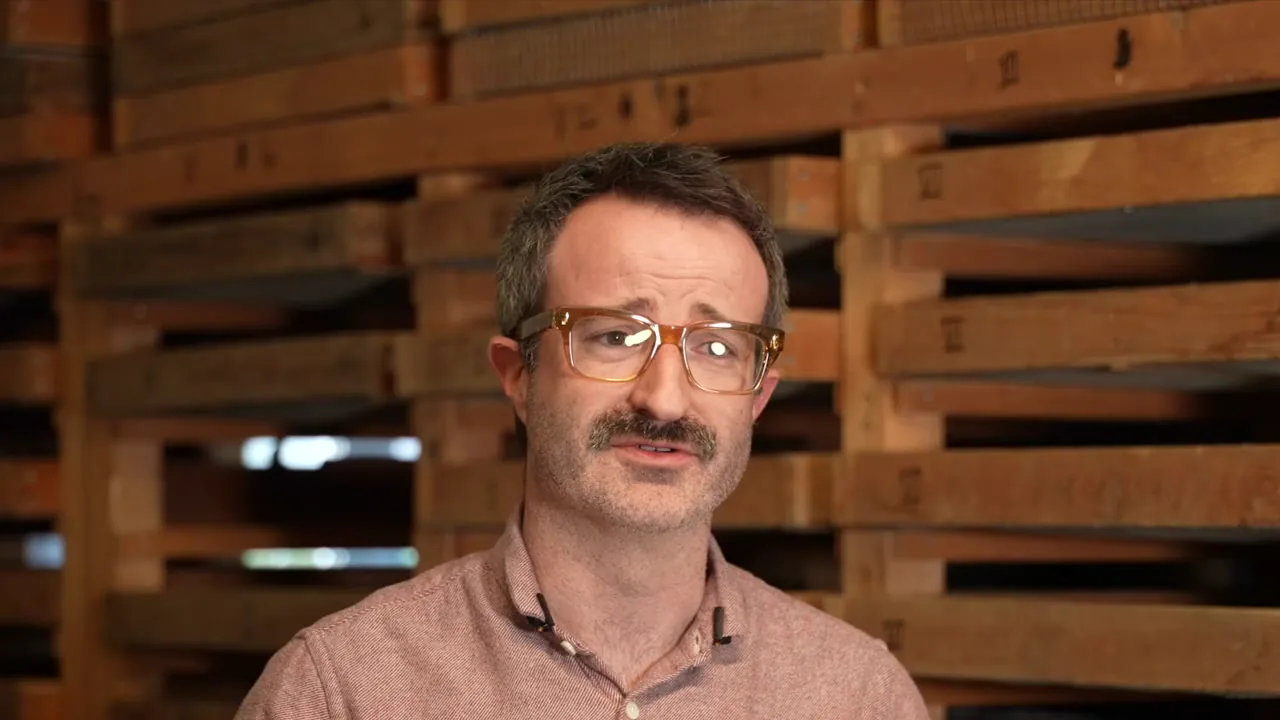
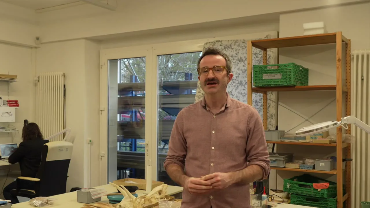
Romain Guichon
Archaeologist, Operations Manager, Archeodunum Investigations Archéologiques SA, Switzerland
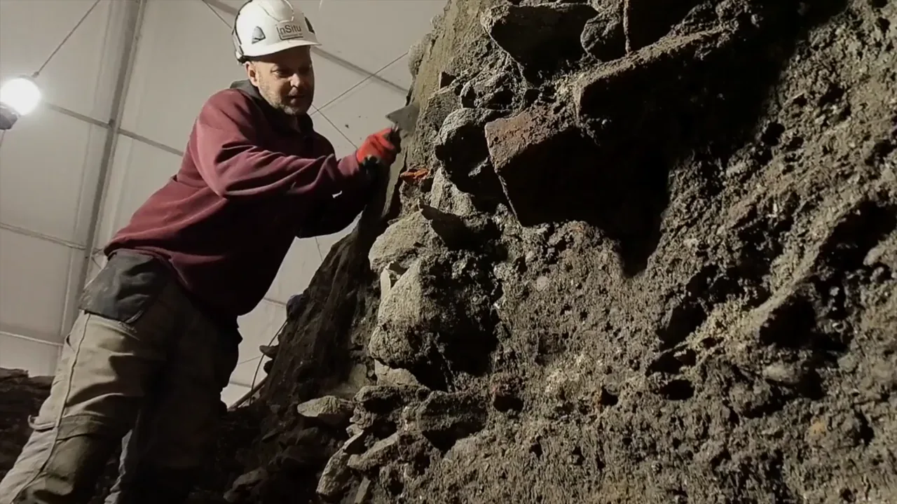
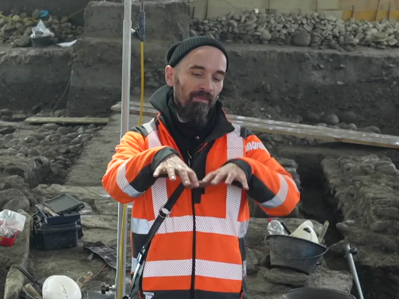
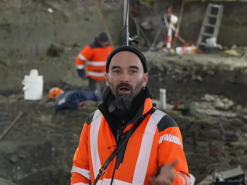
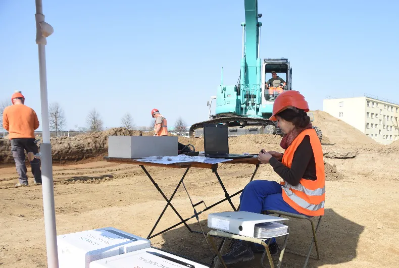
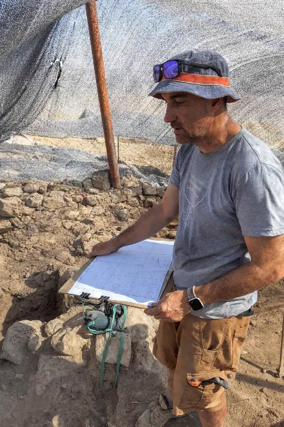
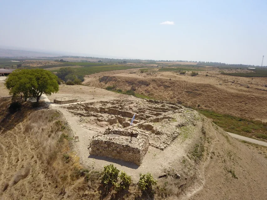
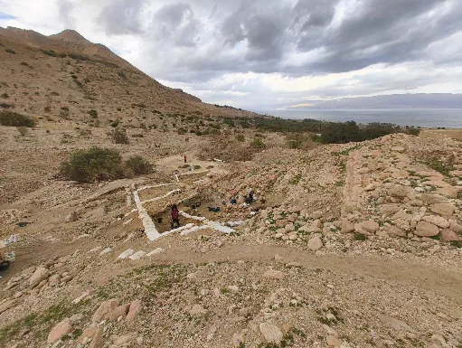
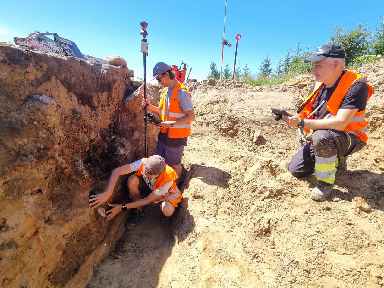
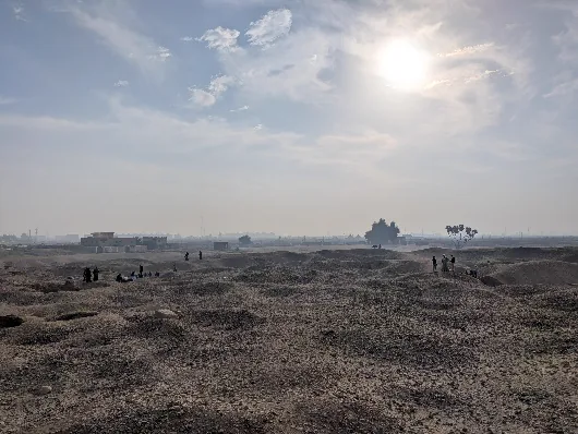
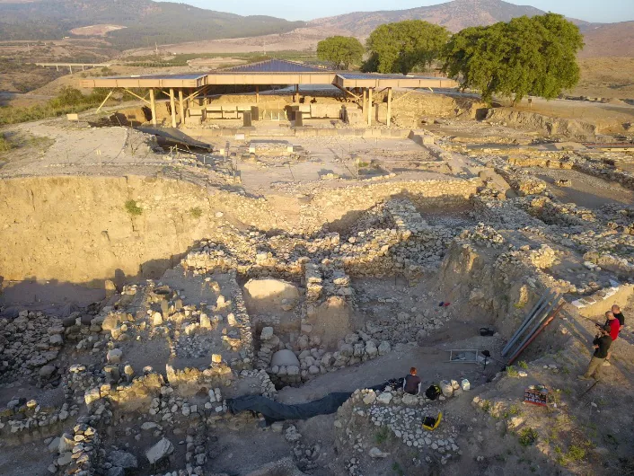
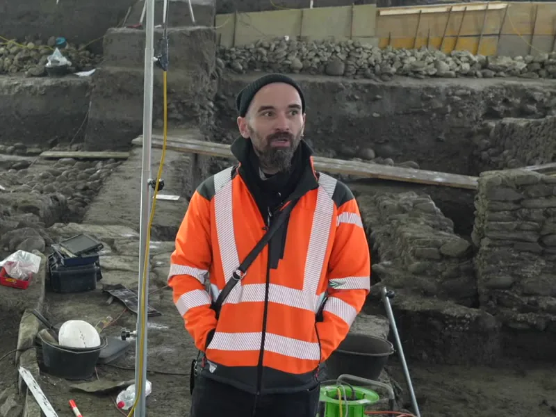
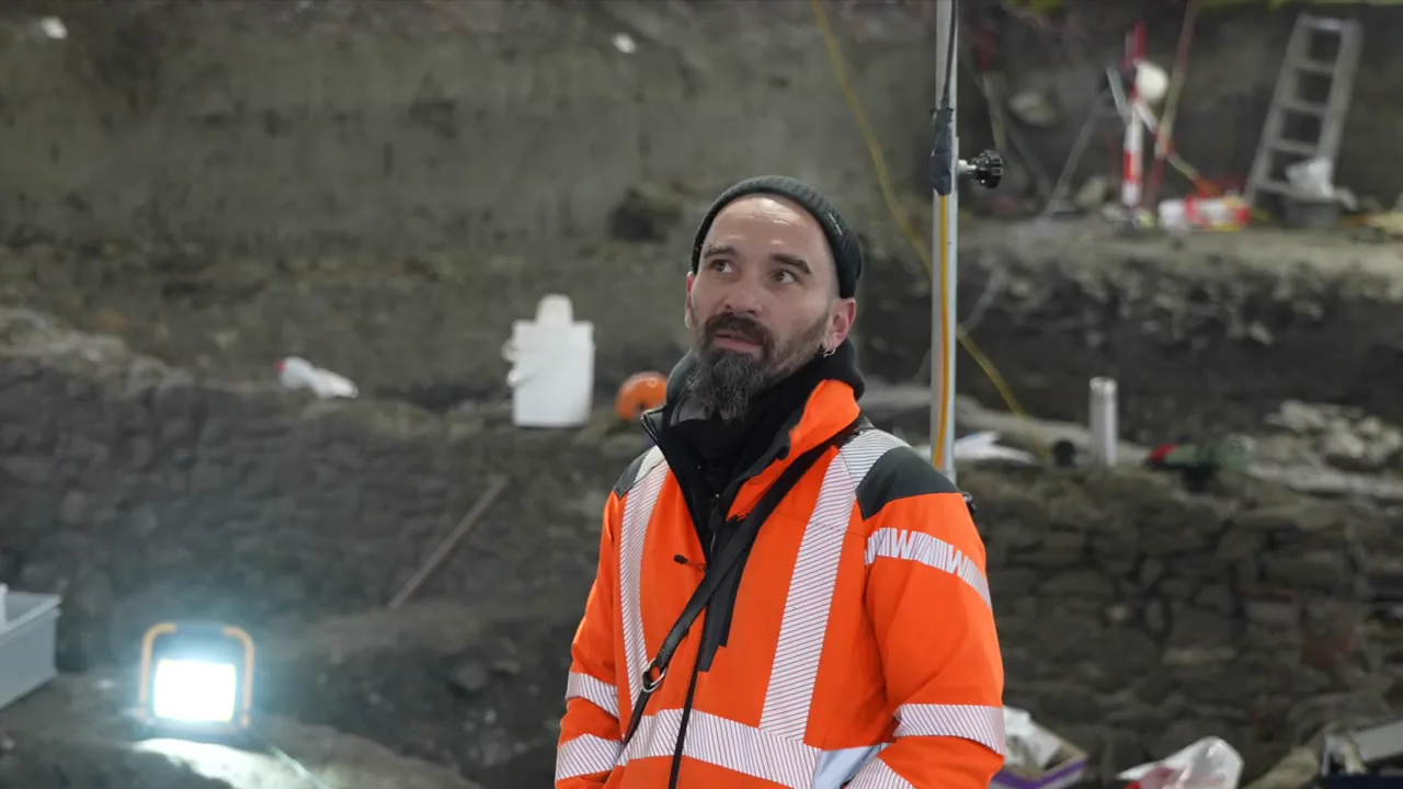
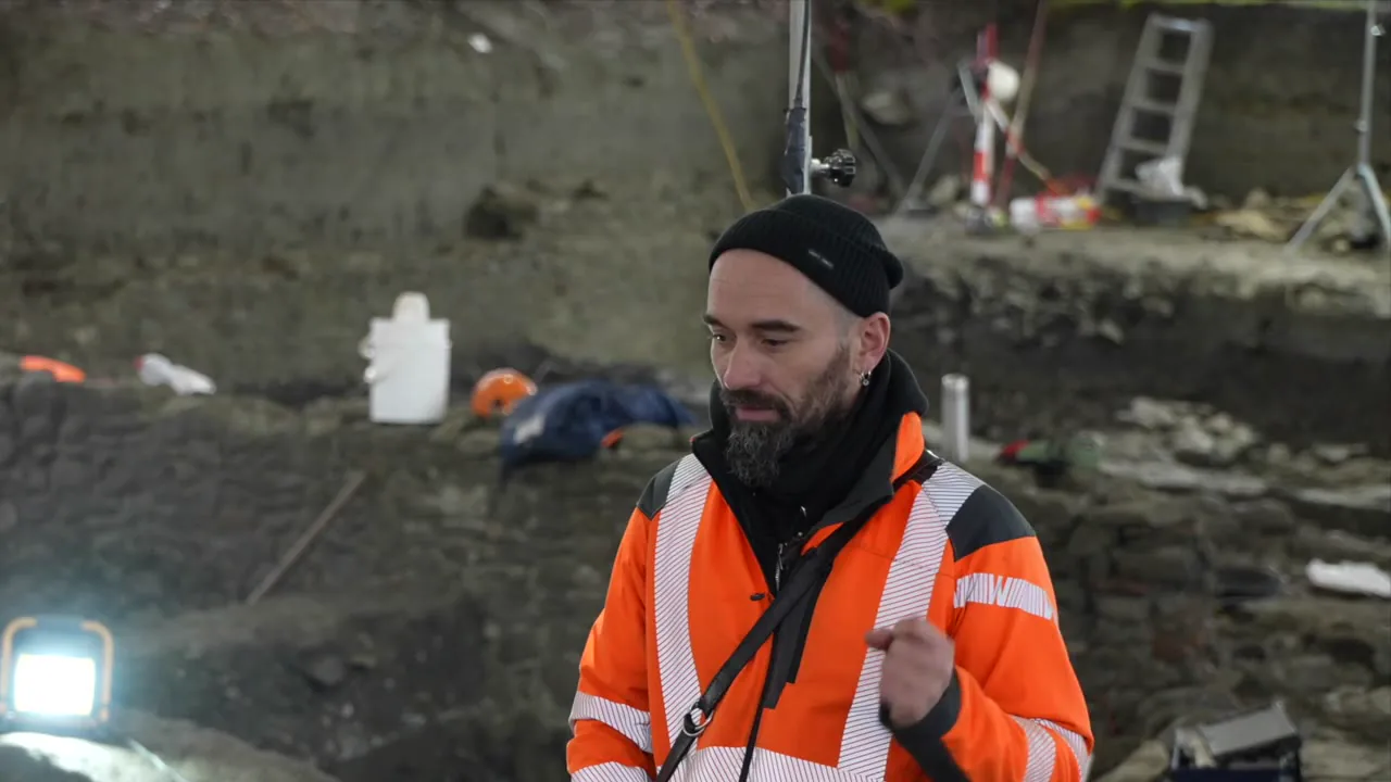
The Prés-de-Vidy excavation is currently being carried out on an 8-hectare plot, ahead of the construction of a future eco-district of the city of Lausanne. It is one of the largest archaeological excavations ever conducted in Switzerland, with major human occupations dating mainly from the Mesolithic (c. 9000–5000 BC) and the Roman period (1st century BC – 5th century AD).
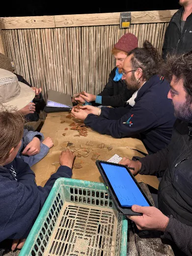
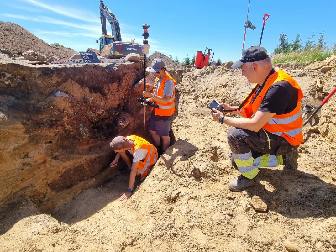
The research, under way continuously since summer 2024 and planned until 2028, involves a team of 25 people on average, who excavate, document and study the thousands of remains extracted from the ground. The Gallo-Roman site notably contains a very large necropolis, with potentially 3,000 to 5,000 graves or funerary features, one of the largest ancient cemeteries known in Europe.
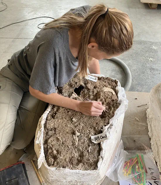
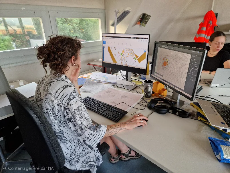
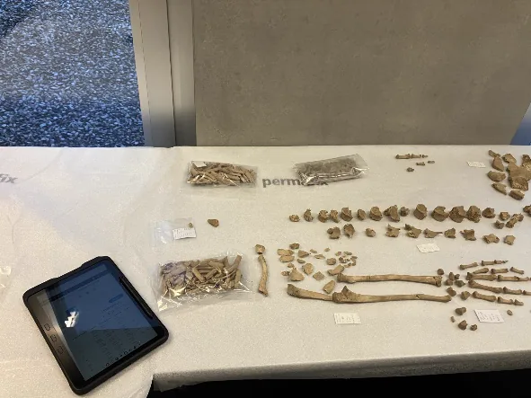
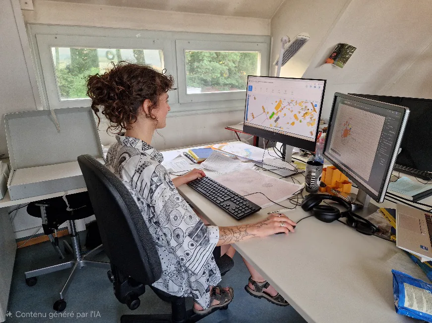
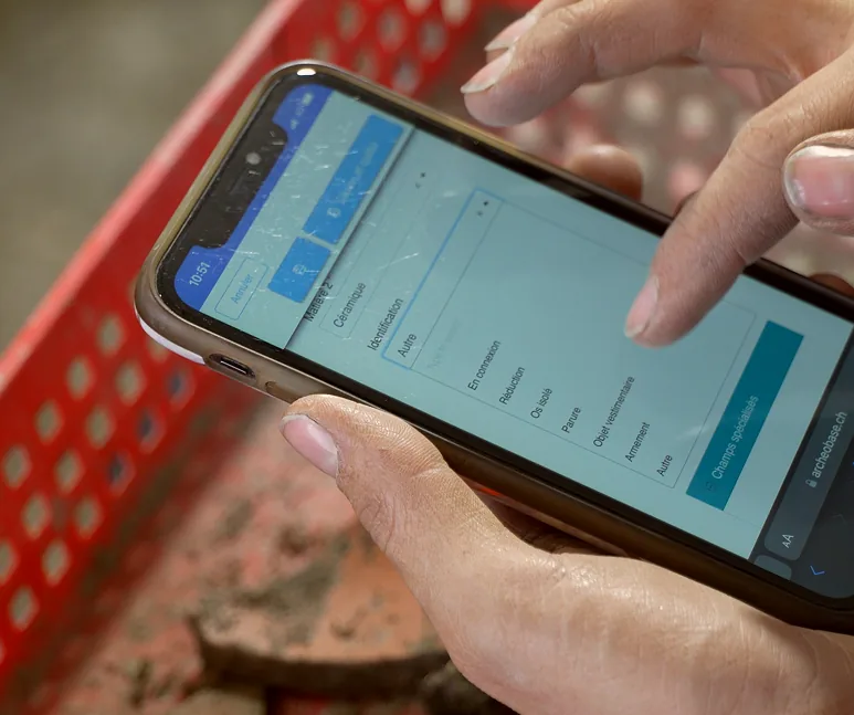
Using ArcheoBase on this project makes it possible to handle a large volume of data and to synchronise excavation and study directly. For example, the inventory of archaeological finds already holds more than 16,000 entries (objects, lots of objects, sediment samples, etc.), each form bringing together information available in real time to the field and laboratory team. The data can also be processed and viewed in a geographic information system (GIS), as maps. This creates genuine working comfort and the dynamics that a project of this scale demands.
On a single large-scale excavation at Prés-de-Vidy in Lausanne, up to 40 archaeologists worked simultaneously on ArcheoBase, inventorying 19,500 objects and lots, recording 4,800 stratigraphic units and 2,000 structures, and producing 1,400 drawings and 12,400 photos, all centralised in real time.
-
All in one place
We had multiple binders open on our desks and several programs running simultaneously. Now we have a single platform to centralize information.
-
Teamwork
ArcheoBase makes it possible to process a large volume of data & directly synchronize excavation & research operations. This creates genuine working comfort & essential operational dynamics for a project of this scale.
-
Time savings
Those long hours of listing in a spreadsheet are now a thing of the past.
-
Reports & analysis
When we were able to see, as thumbnails, all the photos related to a structure along with the drawings where that structure appeared, a wall, a tomb, that was really a plus for us, and that's when we thought we had a very powerful tool.
-
All in one place
We now have a single platform to centralize information, whether it relates to archaeological remains, structures, objects, but also photos and excavation drawings, and all of it is centralized, synchronized.
-
Adaptability
We also have the flexibility of the program, which is a strength in that the tool is quite modular, and it has an ergonomic design that is quite easy to pick up.
-
Support
The third strength is the quality of the exchange we have with ArcheoBase, since they have always been, and still are, responsive and attentive to our specific requests.
-
Mapping & GIS
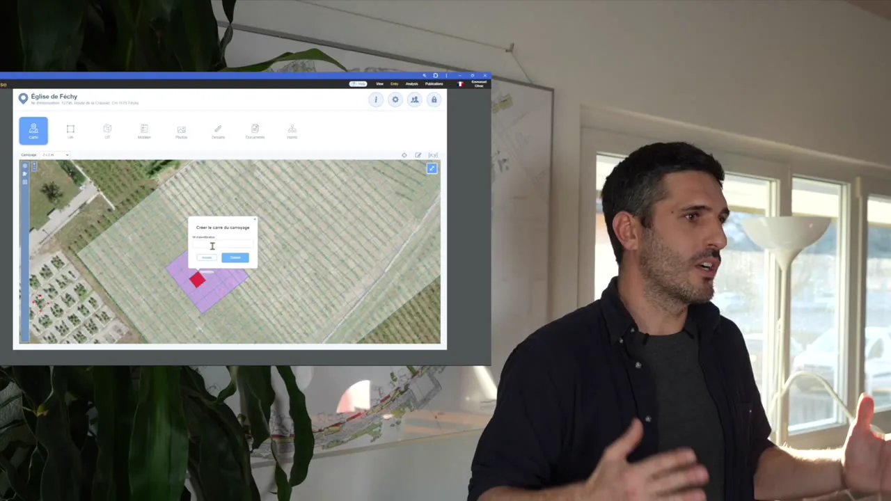
On any excavation operation, but in particular on large areas, we need to spatialize our intervention by means of an orthogonal grid. The idea is to set up this grid directly on ArcheoBase's map tool and to have a mesh that you can define yourself.
-
Mapping & GIS
Each excavation square will then be an object in the database that can interact with the other elements of the database, like finds, structures, and all sorts of archaeological data.
-
Teamwork
There's also great convenience in having this visualization and an overview for excavation supervisors, as well as for all post-excavation contributors.
-
Mapping & GIS
What's interesting is that we can integrate georeferenced photogrammetry. These integrate directly into the general map of the site.